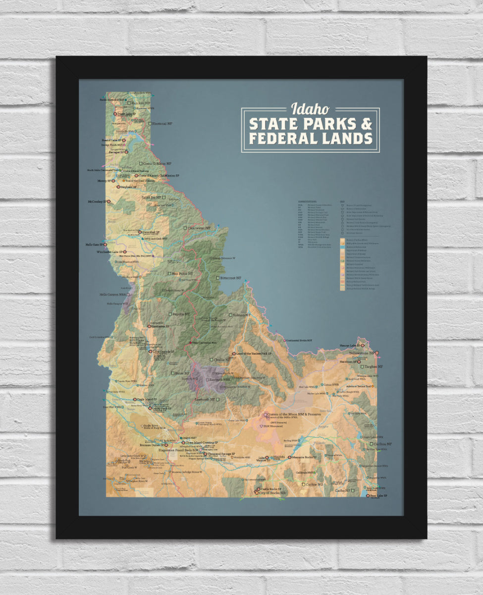
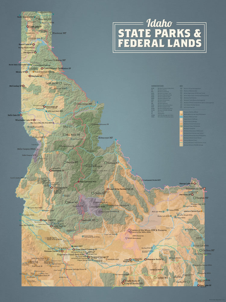
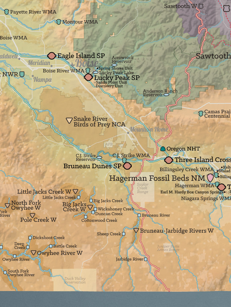
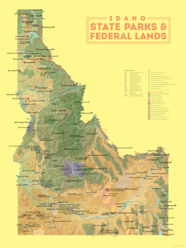
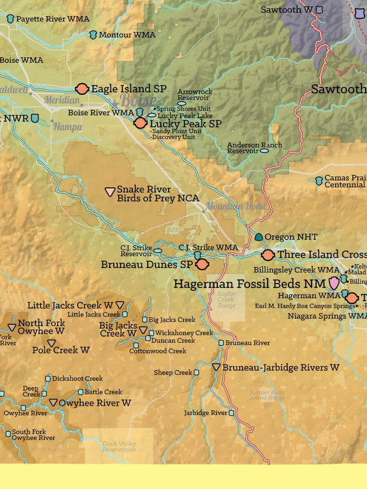
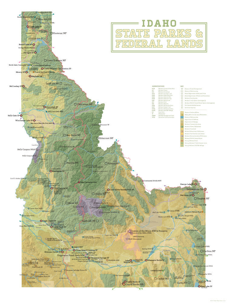
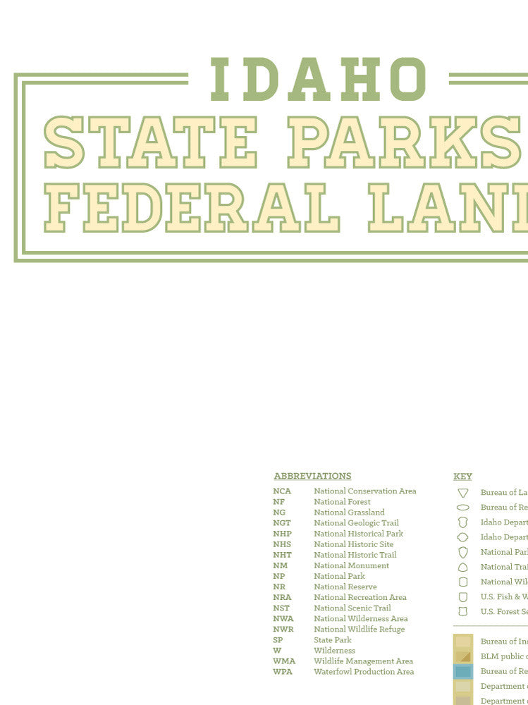
Interagency
Interagency map posters showing protected public lands across the United States, including state lands and federally managed areas from the National Park Service (NPS), U.S. Forest Service (USFS), Bureau of Land Management (BLM), and U.S. Fish & Wildlife Service (FWS). These maps provide a complete view of overlapping land management systems, making them ideal for understanding access, planning trips, or exploring public lands.