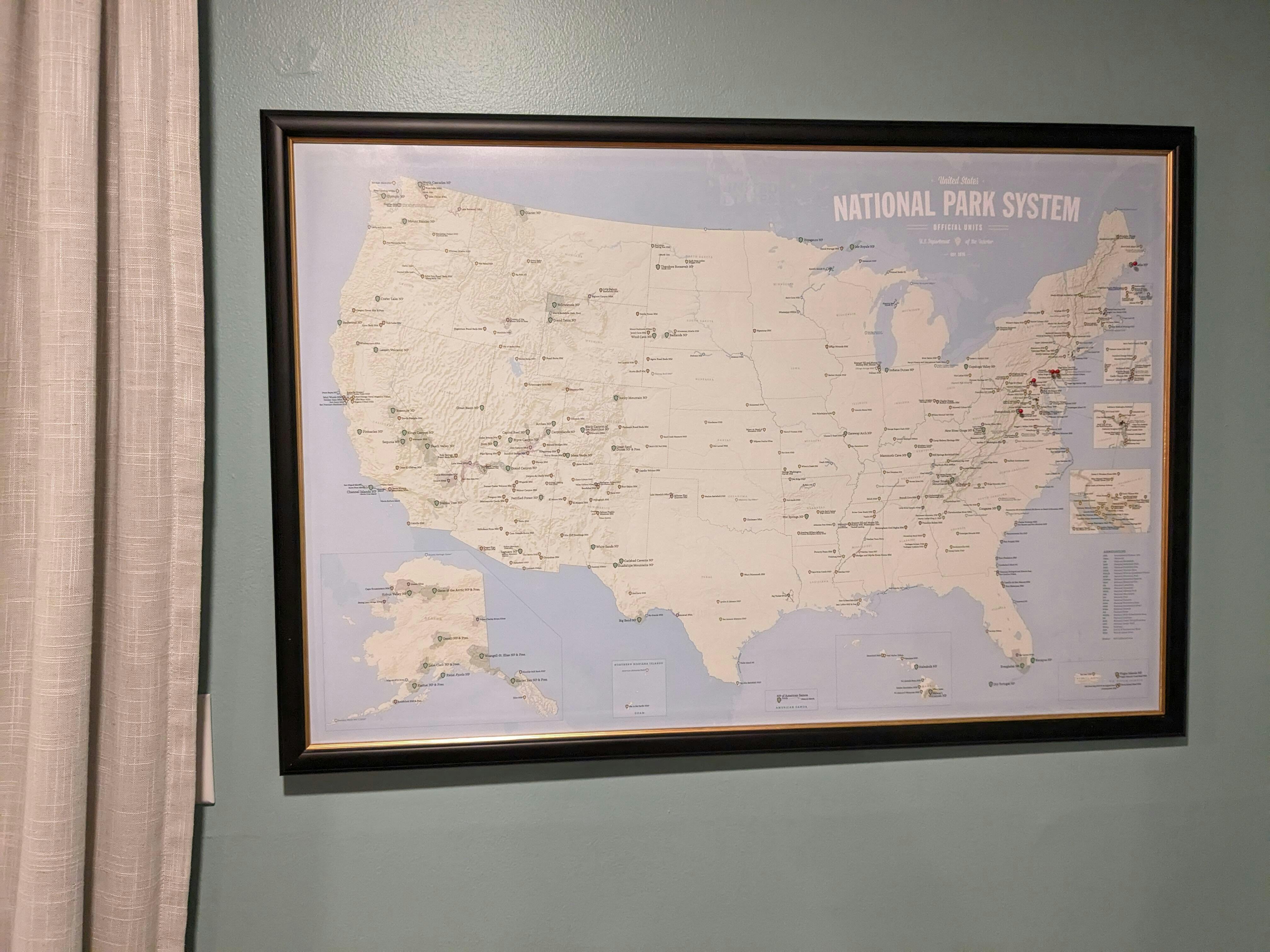
433 National Park System Units Map 24x36 Poster
Track your travels across the full National Park System with this detailed 24” x 36” checklist map featuring hundreds of National Park Service sites across the United States — from iconic national parks like Yellowstone and Yosemite to national monuments, historic sites, battlefields, seashores, recreation areas, memorials, and more. The National Park System extends far beyond the 63 national parks, preserving some of the country’s most important natural, historic, and cultural places.
BEYOND THE NATIONAL PARKS
Includes hundreds of National Park Service units across the country, including:
• National Parks
• National Monuments
• National Historical Parks & Historic Sites
• National Battlefields & Military Parks
• National Memorials
• National Seashores & Lakeshores
• National Recreation Areas
• And many more NPS designations
DESIGNED FOR CLARITY
• Clean layout keeps focus on the parks without unnecessary clutter
• Subtle shaded relief adds terrain context while maintaining readability
• Color-coded park types help distinguish different NPS designations
• Includes insets for densely-packed eastern cities
• Designed as both a travel tracker and a display piece
BUILT FOR INTERACTION
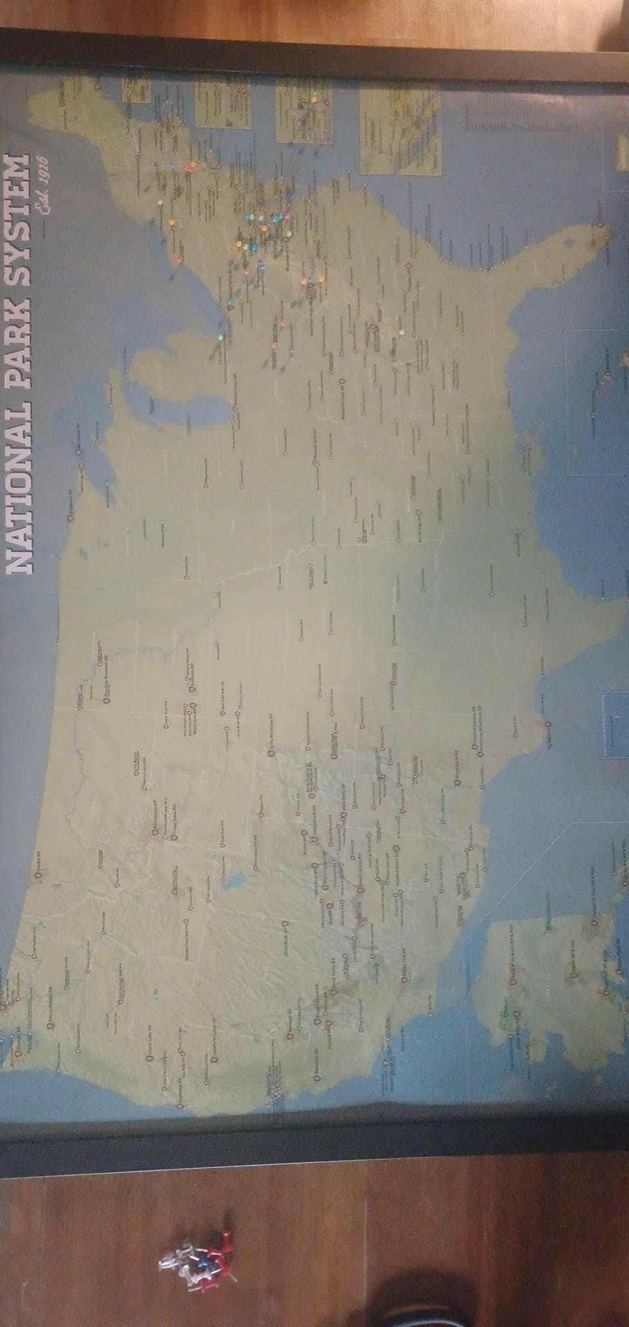
• Mark visited parks with pins or a paint pen/marker
• A visual way to track road trips, vacations, and park goals over time
• Works as wall decor, a bucket
-list tracker, or a conversation piece
• Popular with hikers, travelers, RV owners, and national park enthusiasts
PRINT QUALITY
• Printed in-house in the USA
• Heavyweight satin photo paper
• Precision pigment inks for rich color and crisp detail
• Reduced glare for easy viewing without glass
FRAMING OPTION
Upgrade to a framed map professionally dry mounted to a rigid backing for a smooth, pin-ready surface — ready to hang right out of the box.
LOOKING FOR EVEN MORE DETAIL?
Explore our Interagency Federal Lands map featuring National Park Service, Forest Service, Bureau of Land Management, and Fish & Wildlife lands together on one map.
Professionally Mounted. Ready to Hang.
Each map is dry-mounted onto foam board for a perfectly flat finish—no bubbles, no hassle.
No Glass — Designed for Pinning
Our frames are built specifically for interactive use.
-Push pins go in easily
-No glare or reflections
Clean, Modern Frame Styles
Minimal, solid frames that complement the map—not distract from it.
-Designed to feel like a finished piece
-Works in any space (home, office, cabin)
-Ideal for tracking travels
Arrives Ready to Hang
No assembly. No extra purchases. No hassle.
You don’t just get a print.
You get a finished piece that’s ready to live on your wall.


Keep scrolling for close-ups of each style.
MOCK-UPS
With our current catalog there are thousands of possible map/frame combinations. If you'd like to see a mock-up of a certain one, we will be happy to help.
SHIPPING
Shipping rates for oversized packages vary based on the destination state, so we cover a certain amount of the shipping and any remainder is added at checkout.


 .
.